
4K
Quality Resolution
100+
Projects Done
6+
Years Experience
40+
Annual Events

AERIAL ROOF INSPECTIONS
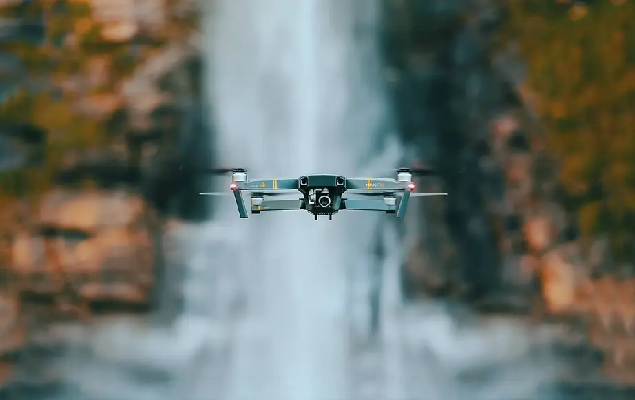
Drone Roof Inspections for Insurance, Homeowners & Builders
High-resolution aerial data capture delivering clear, accurate roof condition imagery—without the need for ladders or manual inspections
Swarm Drone Services provides professional drone-based roof inspections, delivering detailed, high-resolution imagery to support insurance documentation, homeowner awareness, and construction quality control.
Drone inspections offer a safer, faster, and more efficient way to assess roof conditions—capturing angles and detail that are difficult to achieve from the ground.
Each inspection is conducted with a focus on clarity, coverage, and usability, ensuring the data collected is practical for real-world decision-making

INCLUDES :

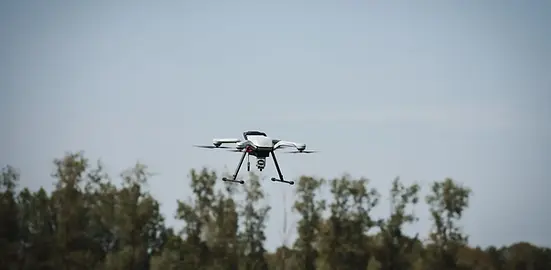
CONSTRUCTION AERIAL ASSET MANAGEMENT
Drone Data Collection for Construction Asset Management
Consistent, time-stamped aerial data capture supporting project visibility, asset tracking, and documentation workflows.
Swarm Drone Services provides professional drone-based data acquisition for construction aerial asset management, delivering clear, consistent, and time-stamped imagery to support project tracking, documentation, and asset visibility.
Drone flights are conducted on a scheduled basis or as needed to capture the evolving state of a project—from initial site conditions through final completion. Each deployment focuses on maintaining consistent flight paths and capture angles, allowing for accurate visual comparisons over time.
In addition to progress tracking, aerial data collection supports asset identification, material tracking, and site condition documentation, providing project managers and stakeholders with a reliable visual record of equipment placement, infrastructure development, and site changes.
INCLUDES :

LIDAR PROPERTY & INTERIOR DATA CAPTURE
LiDAR Data Collection for Property Mapping
High-precision aerial and interior LiDAR data capture—with optional processing and analysis support when required.
Swarm Drone Services provides professional LiDAR-based data acquisition for property and interior environments, delivering accurate, high-density spatial datasets to support mapping, modeling, and documentation workflows.
Using drone-mounted and ground-based LiDAR systems, data is captured to represent both external property features and interior spaces, creating detailed point cloud datasets that reflect real-world conditions with precision.
For outdoor environments, LiDAR capture provides accurate elevation data, terrain context, and structural relationships across land and infrastructure. For interior environments, scanning captures spatial layouts, room geometry, and structural elements—supporting renovation planning, documentation, and digital modeling.

INCLUDES :

REAL ESTATE AERIAL & LIDAR VIRTUAL TOUR PACKAGE
Aerial Imaging & LiDAR Virtual Tours for Real Estate Listings
Showcase properties from every angle with cinematic aerial visuals and immersive interior LiDAR-based virtual tours.
Swarm Drone Services provides a complete real estate media package combining high-resolution aerial imagery with interior LiDAR-based virtual tours—designed to elevate property listings and give buyers a true sense of space and layout.
Aerial photography and video highlight the property’s exterior, surroundings, and location context, while interior LiDAR scanning captures precise spatial data to create immersive virtual walkthrough experiences.
This combination allows agents, sellers, and developers to present properties more effectively—helping listings stand out, increasing engagement, and giving potential buyers the confidence to move forward.